
Walk a South Fulton Street
A street directory search works best as a chain, not a one-step answer. The Fulton County assessment roll identifies the owner tied to a taxable parcel. The GIS map shows how that parcel fits beside the next lot. A deed index then tracks recorded transfers. A voter file or a dated criss-cross directory may add evidence about people associated with the address. Each source answers a different question, so keep “owner,” “registered voter,” and “printed occupant” as separate labels.
- Enter one complete address in the Fulton County property search. Save the parcel ID, situs address, owner name, subdivision, lot, and block.
- Open the county Property Map Viewer, locate that parcel, and click neighboring parcels along the same road. Record each parcel ID rather than relying on map labels alone.
- Check whether the city limits layer places the property inside South Fulton. A postal name such as Atlanta, College Park, or Fairburn does not settle jurisdiction.
- Search owner names in the Georgia Superior Court Clerks' Cooperative Authority deed index. Use book and page references to move from one transfer to the next.
- Use a lawful voter-list request or a Haines criss-cross volume only as supporting occupancy evidence. Neither source includes every person at an address.
This sequence also prevents a common error: calling the tax-bill recipient a current resident. For a whole named road, repeat the same steps parcel by parcel. For only the lots around one address, the South Fulton neighbors lookup gives the tighter block method.
Search South Fulton Parcels
The Fulton County property search is the practical starting point because it turns a typed address into a county parcel identifier. Searching by address is usually stronger than searching by owner when the goal is to reconstruct a street. Remove a direction or suffix if the exact wording fails, then compare the returned situs address before accepting the match.
| Search control | Input | How it helps |
|---|---|---|
| Owner name | Person or entity | Finds parcels associated with a known owner; fewer characters can catch variants. |
| Location/property address | Street address | Finds the physical taxable site, which is the best street-by-street key. |
| Parcel ID | County identifier | Returns directly to the same land record after names or postal wording change. |
| Search/Clear | Portal controls | Runs a query or removes the prior terms before the next parcel. |
A parcel card can show the tax year, owner, physical address, owner mailing address, values, exemption code, land acreage, neighborhood code, subdivision, lot, and block. The Board of Assessors values parcels annually, while the Tax Commissioner handles tax bills and delinquency. Neither office maintains a complete household roll.
The Fulton County property assessment overview explains the assessment process and office access. The South Fulton Service Center is at 5600 Stonewall Tell Road, Suite 224, Atlanta, GA 30349. It is open from 8 a.m. to 4:30 p.m., and the main assessor number is 404-612-6440.
South Fulton Street Record Sources
No public record supplies a complete South Fulton street directory. The useful set is a group of address-keyed rolls maintained by county, city, state, and library custodians. Online access is only one channel. If a portal fails, use the assessor office, Clerk Record Room, a written request, or the library desk.
| Address source | Custodian | Evidence available | Access route |
|---|---|---|---|
| Assessment roll | Fulton Board of Assessors | Owner, situs and mailing addresses, parcel, exemption, subdivision | Online search or assessor office |
| Parcel map | Fulton County GIS | Parcel boundaries, adjacent lots, ZIP, land lot, districts | Free map viewer and GIS service |
| Deeds, liens, plats | Fulton County Clerk | Recorded parties, transfer trail, legal description, book/page | GSCCCA index, Record Room, mail copy request |
| Municipal files | South Fulton CDRA | Zoning, permits, certificates, code records | City portal, department, Georgia Open Records Act request |
| Voter list | Georgia SOS and county elections | Named registered voters with parsed residence fields | Identity-gated MVP or paid list order |
| Reverse directories | Fulton County Library | Printed occupant and phone in address order for covered years | Central Library collection and genealogy resources |
The parcel ID joins the assessment card to maps, deeds, plats, and some municipal files. The written street number joins modern rolls to printed directories. When those keys disagree, retain both and look for a legal description or subdivision-lot reference.
South Fulton Address Terms
Address fields look similar but serve different jobs. Fulton parcel data preserves both the physical site and the destination for tax mail. A mismatch may point to an absentee owner, an estate representative, a business office, or a preferred mailing address. It does not establish who occupies the building.
- Parcel
- A mapped unit of land with a Fulton County identifier used across tax and GIS records.
- Situs address
- The physical taxable location of the parcel.
- Plat
- A recorded map that lays out lots, blocks, roads, and other subdivision details.
- Criss-cross directory
- A printed directory arranged by street and house number rather than only by surname.
Homestead information can support an owner-occupancy hypothesis for the listed tax year, but exemption codes must be checked rather than guessed. Even a matching situs and mailing address does not identify other adults, children, or unrelated occupants.
Browse South Fulton Street Parcels
The Fulton County Property Map Viewer supplies the spatial part of the street directory. Search an address, zoom to the result, turn on tax parcels, and click lots in road order. Close zoom levels reveal labels that are hidden farther out. Useful layers include address and unit labels, land lots, subdivisions, ZIP Codes, school zones, census areas, zoning, and public facilities.
The county's ArcGIS parcel service documents parsed street fields, owner mailing fields, values, exemptions, acreage, neighborhood, and subdivision fields. It can perform distance queries and limits one service response to 2,000 features. For ordinary research, manual map clicks are more dependable than trying to export an entire corridor.
The city zoning viewer adds South Fulton city limits, council district, overlays, and municipal zoning. County GIS answers which parcel is where. City GIS answers whether city government is the right custodian for a permit or zoning request.
South Fulton Street Geography
South Fulton uses conventional Fulton County E911 and parcel addressing, not a single city quadrant grid. Postal identities cross government boundaries. Addresses in the city's four core ZIP areas may carry Atlanta, College Park, or Fairburn as the mailing city. The city-limit layer, not the envelope wording, determines municipal jurisdiction.
Geography check. Treat a present address in three ways: USPS mailing format, current South Fulton boundary, and historic community or land lot. Disagreement is expected. Parcel ID and legal description are stronger bridges than a changing city name.
The 30336 edge needs special care because Fulton Industrial was excluded when South Fulton incorporated. Older records may also use Sandtown, Cliftondale, Red Oak, Cedar Grove, Campbellton, Ben Hill, or Old National rather than the modern city name. This is why a street directory query should retain subdivision, land lot, and parcel ID alongside the postal address.
Trace South Fulton Street Deeds
The GSCCCA real-estate index searches Fulton County instruments by county, instrument type, grantor, grantee, recording-date range, book and page, or document number. A grantor transfers an interest; a grantee receives it. Search the current owner's name, open the deed reference, identify the prior grantor, and repeat backward.
A deed may omit the familiar street address. Its legal description, subdivision, lot, block, land lot, or plat reference reconnects it to the parcel. Recorded documents may also name a preparer and return-to address, but those are not proof of residence.
The accessible Clerk instructions do not state a dependable earliest online index or image year. Call the Record Room at 404-613-5313 when a book is missing or the image is unavailable. For mail copies, provide the document type and book/page to Che' Alexander, Fulton County Clerk, 136 Pryor Street, CG13, Atlanta, GA 30303. Clerk staff supply records but do not perform title research.
The manifest image from the Georgia deed search shows the statewide entry point used for Fulton County instruments.
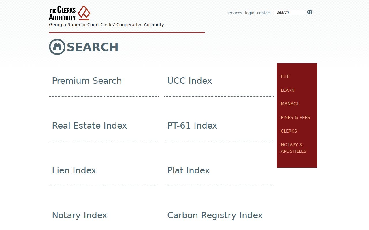
Use its party and recording fields after the parcel card provides an owner or deed citation.
The Fulton Clerk real-estate guidance provides the local copy and Record Room route when an index result needs a document.
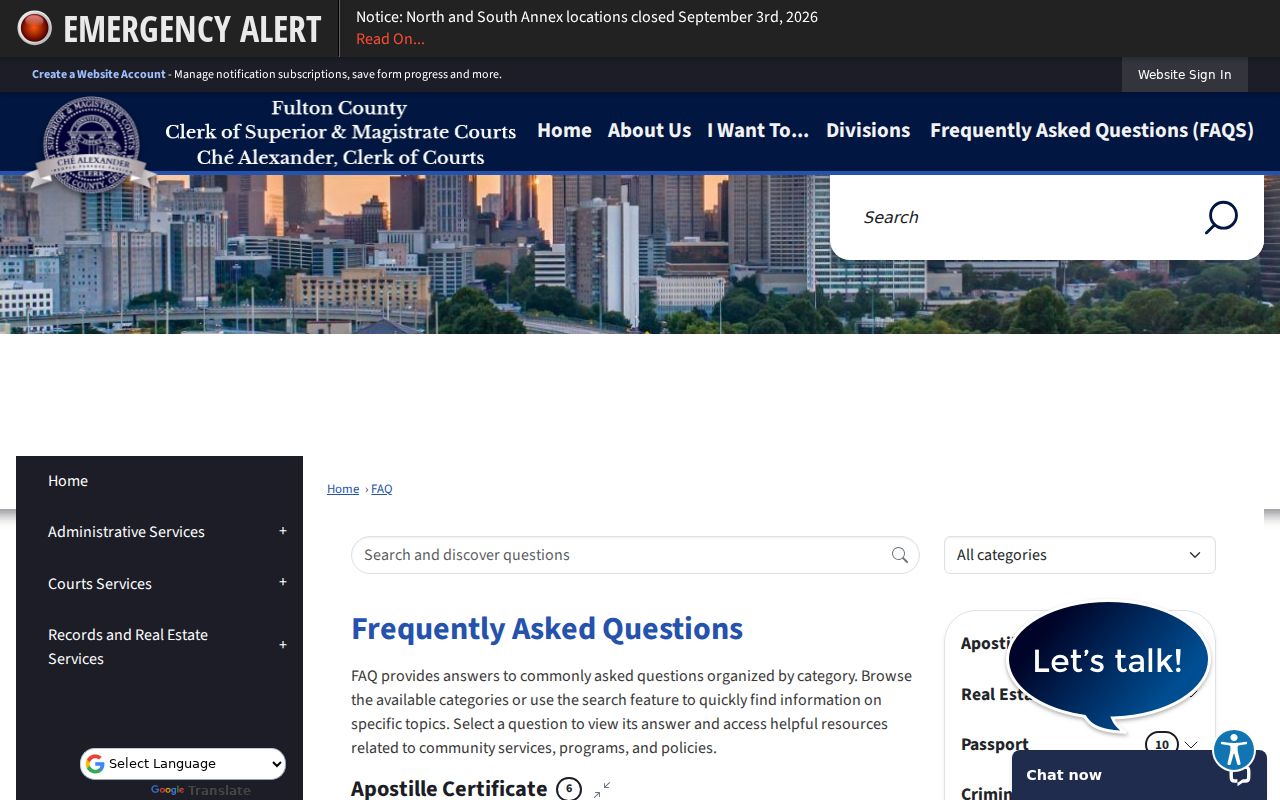
This local channel is essential when an online image is absent or a certified copy is needed.
South Fulton Copies and Assessments
The Fulton Clerk offers more than web images. An unassisted uncertified copy costs $0.50 per page, while an assisted copy costs $1 per page. A certified or exemplified copy starts at $2.50 for the first page plus $0.50 for each added page. Large plats cost $2. Real Estate lists cash, business check, and money order rather than credit cards for those transactions.
The Fulton Clerk copy guidance is the place to confirm the current method before visiting or mailing a request. Certification matters when a court or estate process calls for an official copy; a downloaded index entry is only a locator.
The county's 2026 assessment announcement directed owners to verify characteristics and exemptions through Property Search and described online, mail, and office appeal channels.
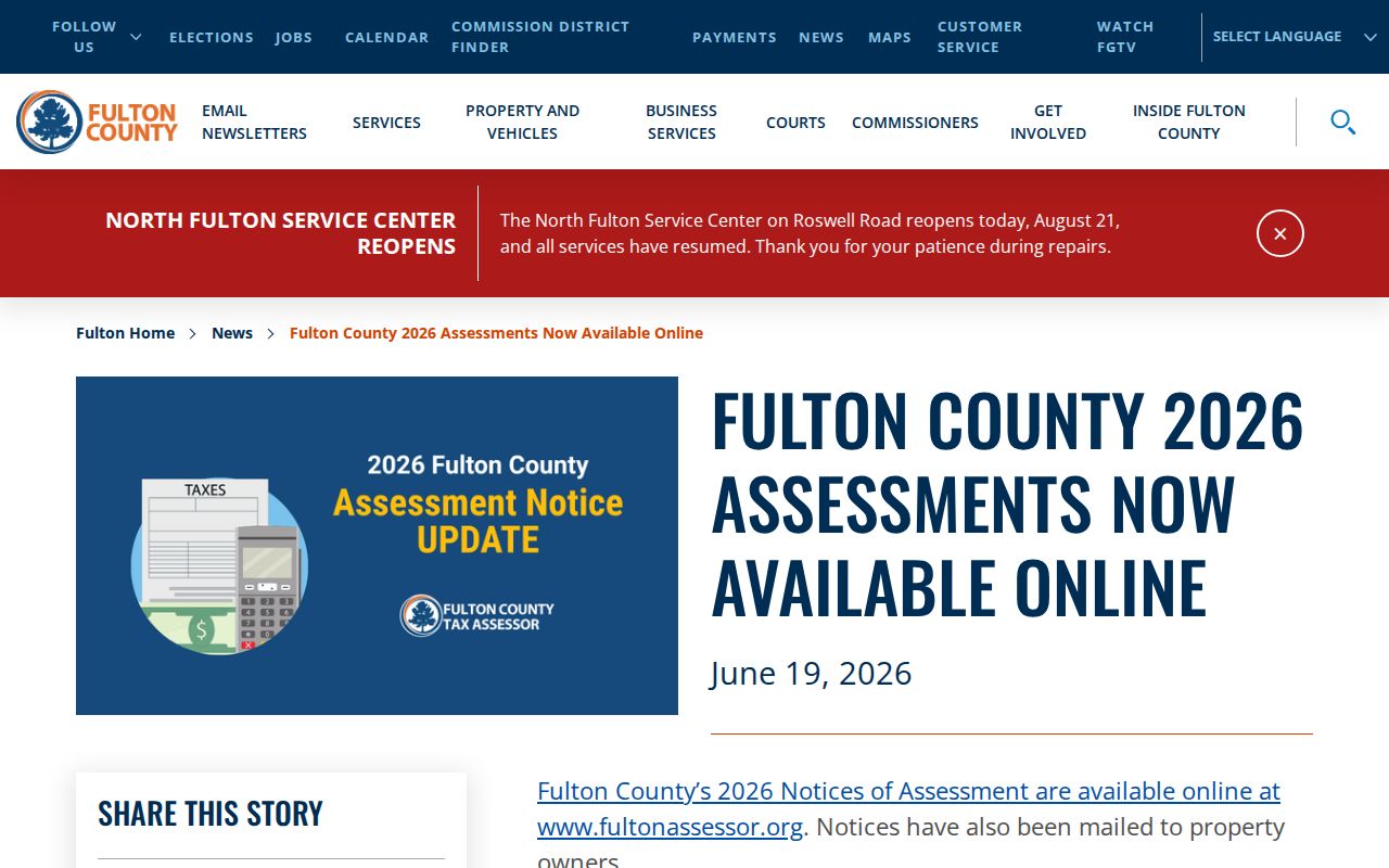
That notice makes the tax year important: values, ownership, and exemptions can change, so save the year with every street-directory result.
Read South Fulton Assessment Evidence
The Board of Assessors describes how Fulton County values land and improvements, accepts property information, and maintains the annual roll. Its official overview is useful context when a parcel card is being used to identify an owner rather than to study value alone.
The property assessment information page was captured for the South Fulton street-directory image set.
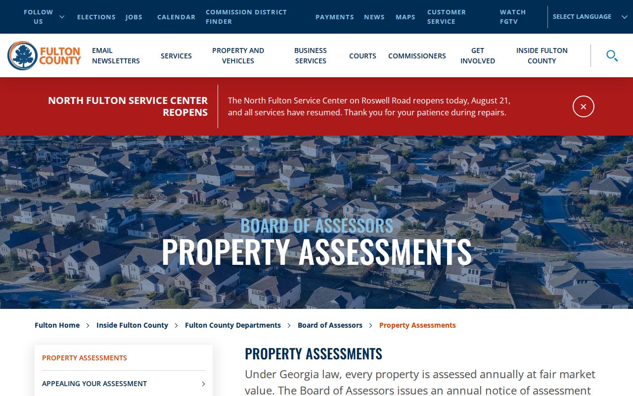
Pair the guidance with the parcel card itself. A tax assessment identifies the assessed owner and property facts for a stated year, not every current occupant.
South Fulton Voters by Street
Georgia's My Voter Page is designed for a voter checking their own registration and is identity-gated. A broader municipal voter list is a different product. The state order materials describe parsed residence number, prefix, street name, street type, suffix, unit, city, ZIP, county and district fields, plus voter status, registration date, mailing address, and voting history fields. Voting history means participation, never ballot choices.
Under the July 2024 schedule, a standard South Fulton municipal list costs $65. Requests may be submitted through the Georgia Secretary of State order process. County election-office help and the state instructions are fallback channels when the web form is inaccessible.
Georgia law bars commercial use of voter-list information. Protected and inactive records also create gaps. A voter list does not contain nonvoters, and matching a voter to a street does not prove every person living in that home.
South Fulton's 2017 Record Split
South Fulton became a city in 2017. Before incorporation, permits, zoning, police, and related local files for much of the same geography were created by Fulton County. After incorporation, comparable records may sit with the city. Fulton Industrial was excluded, which leaves another custody trap near that boundary.
Start a current permit or code search with the South Fulton Community Development and Regulatory Affairs department after confirming city limits. For older files, ask Fulton County. When no index answers the question, submit a focused request under the Georgia Open Records Act that gives the exact address, record type, and date range. A parcel ID or land-lot description can reduce false matches.
This municipal split is one reason the modern South Fulton street directory cannot be treated as one continuous city archive. County deed, probate, tax, and court lines are much older than the municipal files.
Read Older South Fulton Streets
Haines criss-cross directories cover the metro area from 1946 through 2016/17, with coverage varying by year and place. They arrange entries by street and house number, so they can place a printed occupant and telephone on a block before modern parcel tools existed. The Atlanta suburban directory run from 1953 through 1986 can help with mid-century subdivisions.
Search older community names and Fulton County, not only “South Fulton.” The modern municipality had no long standalone print-directory era. Central Library staff, the Georgia Collection, and the library's genealogy resources are the right access channels for volumes, microfilm, and companion sources.
A directory entry is dated evidence, not a permanent identity. Initials, married surnames, misspellings, house-number changes, and skipped publication years all require corroboration. Detailed collection coverage belongs with the South Fulton city directory collections.
Limits of South Fulton Street Records
Public sources leave many people out. Parcel rolls identify owners, not a full household. Voter data omits nonvoters and protected records. Reverse directories reflect only their publication year and coverage. Motor-vehicle addresses are restricted by federal law, while utility, delivery, and private association lists are not public street directories.
Georgia Safe at Home and VoteSafe intentionally shield qualifying participants. Do not try to defeat those protections through another record. Correct labels keep the research honest: owner from the assessor, registered voter from the voter file, and printed occupant from a directory.
Lawful personal use. Address records can support family history, estate research, civic curiosity, or verification of a property claim. They must never be used to follow, threaten, harass, or harm anyone.