
South Fulton ZIP Coverage
Fulton Board of Health community profiles identify four core ZIPs associated with South Fulton. None matches the municipal boundary exactly. Each is a postal delivery area that crosses or approaches another jurisdiction, and each commonly uses a mailing name that can differ from South Fulton. The coverage table is a starting point for a ZIP code directory search, not a substitute for checking a parcel against the city-limits layer.
| ZIP | South Fulton areas | Mailing identity | Boundary note |
|---|---|---|---|
| 30213 | Southwest and southern city, including Fairburn-facing Campbellton and Cedar Grove edges | Commonly Fairburn | Extends outside the city |
| 30331 | Northwest and east-central city, including Sandtown and Cascade-adjacent areas | Commonly Atlanta | Also covers City of Atlanta areas |
| 30336 | Fulton Industrial corridor and northern edge | Atlanta | Fulton Industrial was excluded at incorporation |
| 30349 | Old National, Red Oak, Cliftondale, and broad southeast city area | Atlanta or College Park | Extends into other jurisdictions |
No authoritative source identified an extra PO-box-only or unique ZIP assigned specifically to South Fulton, and no dated local ZIP split was found. A sound postal directory does not pad the list with nearby codes merely because a postal city name looks familiar. Verify a complete address through USPS, then use the mapped city line for jurisdiction.
South Fulton Postal Name Puzzle
South Fulton is geographically large and polycentric. Its parcels may carry Atlanta, College Park, or Fairburn as the preferred postal identity. Those names reflect mail routing, not municipal membership. The mismatch is especially visible in 30331 and 30349. The former reaches Atlanta as well as Sandtown and Cascade-adjacent South Fulton. The latter spans Old National and southeast communities while commonly printing Atlanta or College Park.
This geography changes which office holds the record. South Fulton keeps many permits, zoning, code, police, and municipal-court records created since incorporation. Fulton County keeps deeds, assessments, plats, probate, and principal trial-court files. A postal name should never choose the custodian by itself.
Open the official USPS ZIP Code Lookup to check how a complete address is standardized.
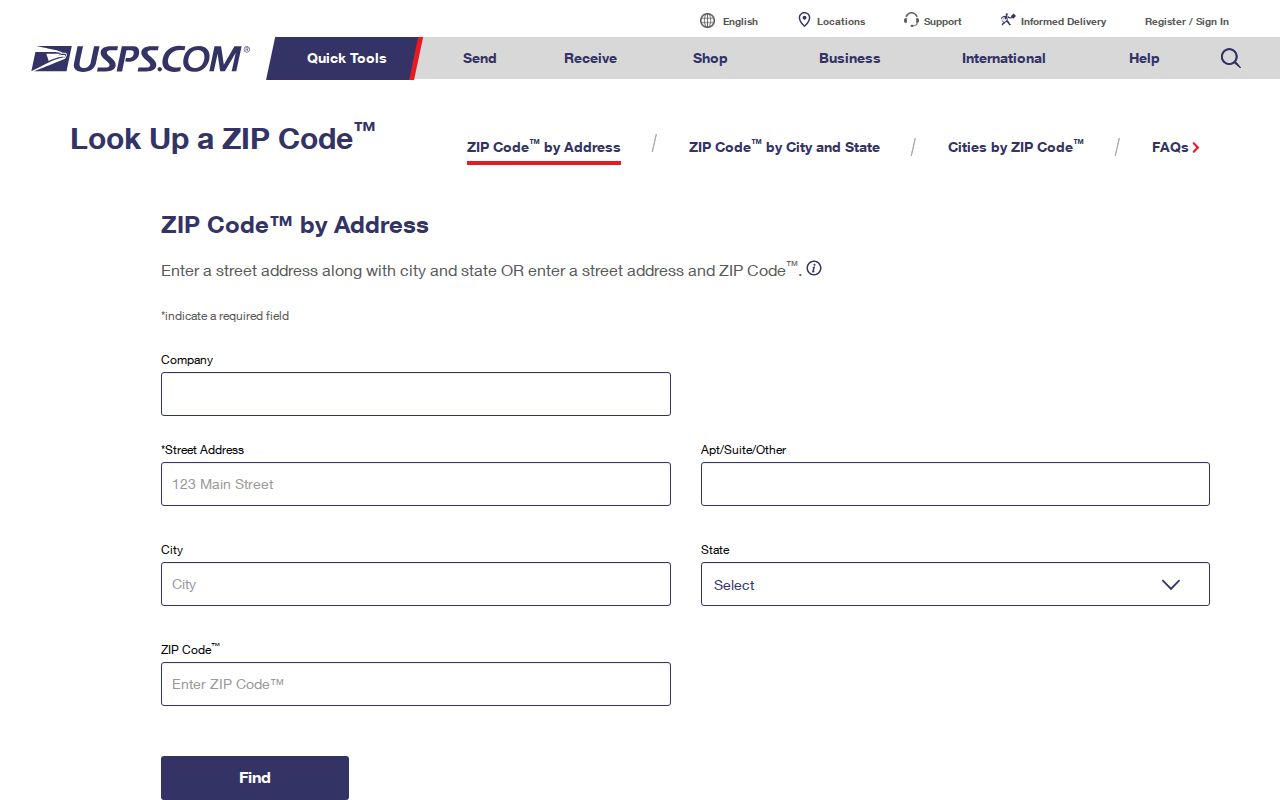
The USPS result settles the delivery format, while city and county maps settle government jurisdiction and parcel context.
Find South Fulton Residents by ZIP
Begin with a verified postal address, then use the ZIP as a geographic filter rather than as proof of residence. The county Property Map Viewer can display a ZIP layer over parcel boundaries. The assessor's published parcel schema does not establish a separate ZIP search field, so do not claim a ZIP filter there. Instead, select parcels spatially in the viewer and follow each parcel ID to its assessor card. For voter data, an ordered file includes parsed residence and mailing ZIP fields.
- Enter the complete address in USPS ZIP Lookup and retain the standardized street, mailing city, and ZIP.
- Open Fulton County GIS, turn on ZIP Codes and Tax Parcel layers, and locate the address within the postal polygon.
- Click the parcel and save its parcel ID, situs address, subdivision, and owner. Follow the ID to the assessor record.
- For a lawful voter-record task, order the suitable Georgia voter file and use its parsed residence ZIP field. MVP remains a personal identity-gated lookup.
- Once the area is narrow enough, use the South Fulton street directory for address-level work.
Keep the source labels precise. A tax mailing ZIP belongs to the destination for the owner's bill and may differ from the parcel's situs, or physical, address. A voter residence ZIP reflects registration. Neither source lists every occupant. Postal-area work narrows the search, but a name still needs confirmation in another official record.
Map South Fulton ZIP Parcels
The Fulton County map hub links public parcel and locator tools. The Property Map Viewer carries parcel outlines, address labels, subdivisions, land lots, ZIP areas, school zones, voting districts, floodplain, and other layers. Select an address, zoom to its parcel, and compare the ZIP polygon with nearby tax parcels. The result is a map-based cross-check, not a claim about who lives there.
Visit the Fulton County map source before viewing its captured access page.
The map hub supplies the geographic bridge from a broad postal area to a parcel and its durable ID.
| Map layer | Question it answers |
|---|---|
| ZIP Codes | Which postal polygon contains the parcel? |
| Tax Parcel | What land unit and parcel ID sit at the address? |
| City Limits | Is the site governed by South Fulton? |
| Subdivision and land lot | Which durable geography bridges older records? |
| Voting districts | Which electoral district covers the parcel? |
Four South Fulton ZIP Areas
Each core ZIP has a distinct research trap. In 30213, a Fairburn mailing identity can mask a South Fulton parcel near the Campbellton or Cedar Grove side. In 30331, an Atlanta mailing name spans both city jurisdictions. In 30336, the Fulton Industrial exclusion makes the municipal boundary central to any city-record request. In 30349, Atlanta and College Park postal usage can accompany Old National, Red Oak, or Cliftondale addresses.
Neighborhood names add useful context but are not legal boundaries. Sandtown, Cliftondale, Red Oak, Cedar Grove, Campbellton, Ben Hill, and Old National can help with library and newspaper searches. For current records, rely on the city-limits and parcel layers. For older sources, search the named community, Fulton County, and the mailing city printed at the time.
Postal geography. A South Fulton mailing address may use another city name, so confirm municipal custody with GIS before requesting a record.
South Fulton Voter ZIP Fields
Georgia My Voter Page asks for a first initial or name, last name, county, and date of birth. It returns personal registration context and cannot browse everyone in a ZIP. A public voter-list order is the broader channel when the task and use are lawful. The South Fulton municipal file costs $65 under the July 2024 schedule, arrives by email, and normally takes two weeks. There is no expedited service.
The ordered file provides parsed residence street parts, unit, city, and ZIP, plus a separate mailing address and ZIP where present. It also includes registration status, municipal and county precincts, legislative districts, land lot and district, and selected election-history fields. It does not contain phone numbers, full birth dates, Social Security numbers, or driver's-license numbers.
| ZIP-related field | Meaning | Caution |
|---|---|---|
| Residence city and ZIP | Parsed registered residence | Registration fact, not a household list |
| Mailing city and ZIP | Separate delivery address when supplied | May be outside the residence ZIP |
| Municipality | Election-file municipal assignment | Confirm changes with Fulton Elections |
| Precinct and districts | Electoral geography within the ZIP | ZIPs and districts do not share boundaries |
O.C.G.A. §21-2-225 opens specified elector-list information, and §21-2-601 makes commercial use of the provided list a misdemeanor. Protected voters may be absent or show a substitute address through VoteSafe or Safe at Home.
Search South Fulton Before ZIPs
The City of South Fulton incorporated in 2017 from much of southwest unincorporated Fulton County, with Fulton Industrial excluded at formation. Older catalogs and public files may never use the present municipal name. A modern ZIP is also a poor key for a directory or deed created under an earlier postal pattern. Search Fulton County, Atlanta suburban collections, and historic communities, then bridge the finding through a parcel ID, land lot, subdivision, lot, or block.
Physical development also guides source choice. Older rural Campbellton-area land is more likely to appear through deeds, plats, probate, church, cemetery, and agricultural sources. Mid-century subdivisions can align with suburban and Haines criss-cross directories. Post-2017 zoning and permit records sit more firmly with the city. The same land can move through those labels while its legal description stays useful.
Note: USPS standardization is for present delivery; it should not replace historic community names or legal descriptions when searching earlier records.
Route South Fulton ZIP Records
After the ZIP and parcel identify the jurisdiction, choose the office by record type. The Fulton Board of Assessors property search handles owner-name and parcel searches online, with assessor offices as a fallback. Fulton GIS supplies the spatial layers. The Fulton Clerk holds deeds, liens, plats, and principal county court files through online services, the Record Room, phone, and copy requests.
South Fulton accepts city records requests in person, by phone, mail, email, or online. Use that route for an existing municipal permit, zoning, code, police, or court record when the mapped parcel lies within city limits. Under the Georgia Open Records Act, an agency responds within three business days, though a response can state the production time and lawful cost. The Act does not compel a new ZIP-wide resident list.
A voter file is ordered from the Secretary of State, while personal registration status comes through MVP. Historical address work moves to Fulton Library collections and archives. Showing each access channel matters because map and portal coverage can fail, especially for older records.
Verify South Fulton ZIP Claims
A ZIP can help verify a seller's stated location, but it should not be treated as identity proof. Fraud reports belong with the relevant official channel. The Federal Trade Commission fraud portal accepts reports about scams and deceptive conduct.
The FTC portal records the incident; Fulton Clerk or the assessor remains the source for checking the parcel or deed claim itself.
If personal data tied to an address was misused, IdentityTheft.gov creates a federal recovery plan.
The recovery site addresses identity theft, while USPS and Fulton GIS answer the narrower postal and jurisdiction questions.
Federal court records use a separate channel. PACER covers federal cases, including the Northern District of Georgia, after account registration.
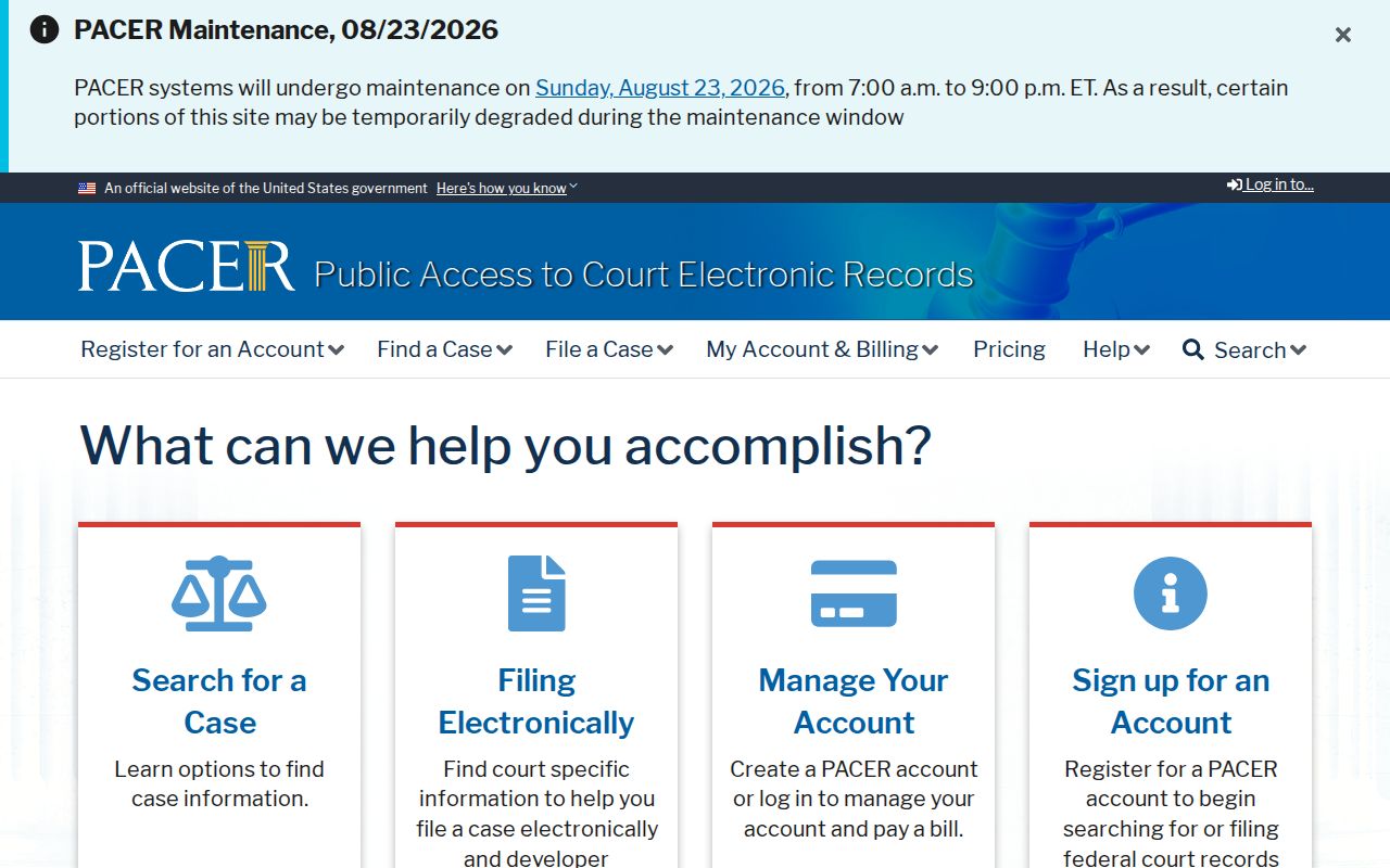
PACER searches by party or case number, not by South Fulton ZIP. Its current charge is $0.10 per page with a $3 document cap, and quarterly charges of $30 or less are waived.
South Fulton ZIPs Versus City Limits
USPS decides the approved delivery format. South Fulton city limits decide municipal service and which local government keeps a city-created file. Fulton County systems cover their own countywide duties regardless of postal name. When the geographies conflict, keep the standardized ZIP for mail and use mapped jurisdiction for permits, zoning, code, police, or municipal-court research.
The city uses conventional Fulton County E911 addresses and parcel geography, not one city quadrant grid. Parcel ID, land lot, subdivision, lot, and block endure more reliably than a mailing city name. They are the best keys for crossing ZIP lines, community labels, and the 2017 city formation.
- ZIP versus ZIP+4
- A ZIP identifies a delivery area; ZIP+4 narrows delivery to a smaller segment such as a block, building, or group of boxes.
- PO-box ZIP
- A code used mainly or only for post-office boxes rather than street delivery.
- Unique ZIP
- A code assigned to one large organization or destination. None was verified as South Fulton-specific.
- Carrier route
- A group of addresses served on one postal carrier's route, not a city boundary or resident roll.
Public map layers may also show school zones, voting districts, flood areas, and water or sewer service. Those layers describe public geography. They do not identify household occupants, and they should not fill gaps in a resident search.